


ANDRICOS Dual-Band GNSS Handheld Terminal — Minewsemi GE3PGS51 L1/L5 Positioning Device with RTK Engine Support, IP67 Housing, Bluetooth & Optional 4G
ANDRICOS Dual-Band GNSS Handheld Terminal — Minewsemi GE3PGS51 L1/L5 Positioning Device with RTK Engine Support, IP67 Housing, Bluetooth & Optional 4G
Description
Description
Selected by ANDRICOS. Brand listed by supplier: Minewsemi.
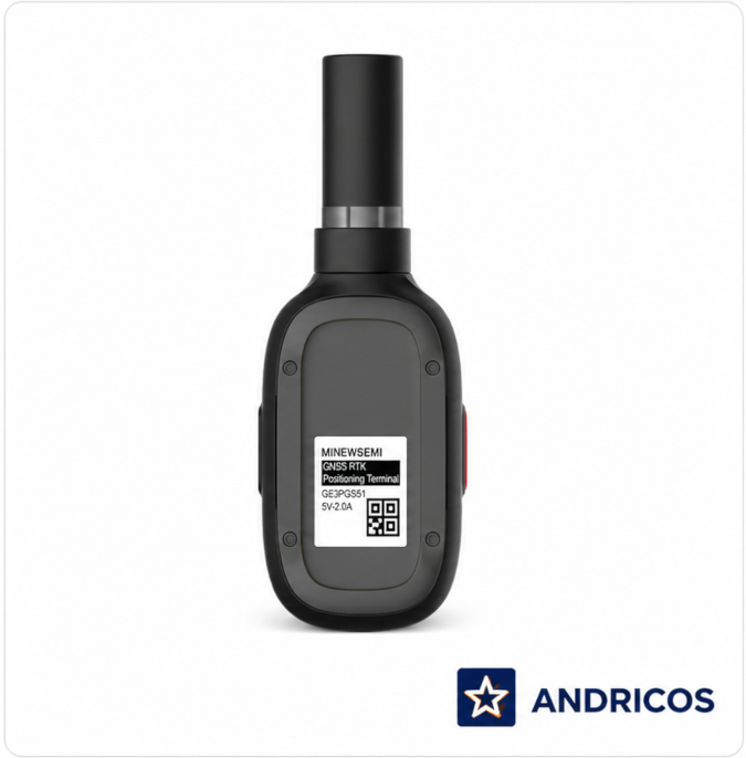
The ANDRICOS Dual-Band GNSS Handheld Terminal — Minewsemi GE3PGS51 is a compact positioning device designed for field data collection, inspection workflows, logistics support, asset positioning, mapping support, vehicle-positioning workflows, surveying support, and general GNSS-based outdoor positioning tasks.
The supplier lists simultaneous multi-constellation GNSS support, dual-band L1/L5 positioning, an integrated RTK positioning engine, Bluetooth communication, optional 4G connectivity, IP67 protection, compact handheld dimensions, and support for GPS, BeiDou, GLONASS, Galileo, QZSS, SBAS, and NavIC.
This product should be treated as a technical GNSS positioning terminal, not a guaranteed professional survey receiver. ANDRICOS should verify the RTK correction workflow, supported software, RTK accuracy, NTRIP support, antenna setup, 4G configuration, certification documents, warranty, and package contents before publishing professional RTK claims.
Product features
Product features
• Minewsemi GE3PGS51 handheld GNSS positioning terminal
• Dual-band L1 + L5 GNSS support listed by supplier
• Integrated RTK positioning engine listed by supplier
• Multi-constellation GNSS support
• GPS, BDS, GLONASS, Galileo, QZSS, SBAS, and NavIC support listed by supplier
• Bluetooth 4.0 + SPP listed by supplier
• 4G Full Netcom listed as optional by supplier
• IP67 protection class listed by supplier
• 1.2m CEP single-point positioning accuracy listed by supplier
• 1.0m CEP SBAS positioning accuracy listed by supplier
• GNSS / RTK refresh rate listed by supplier: 1Hz, maximum 5Hz
• Charging input: DC 5V / 2A
• Approximate charging time: 2 hours listed by supplier
• 1.2m fall resistance listed by supplier
• Compact handheld dimensions
• Suitable for inspection, mapping support, field positioning, logistics, asset management, vehicle-positioning workflows, and technical field data collection
Important accuracy note:
The supplier lists single-point positioning accuracy as 1.2m CEP in open-sky conditions and SBAS positioning accuracy as 1.0m CEP in open-sky conditions. The listing also mentions centimetre-level RTK positioning, but the provided specification does not clearly confirm RTK accuracy, correction source, NTRIP workflow, antenna configuration, or required software. Do not advertise guaranteed centimetre-level accuracy until these details are verified.
Important 4G and wireless note:
The supplier lists Bluetooth 4.0 + SPP and optional 4G Full Netcom. Customers must check whether the selected version includes 4G, whether local mobile bands are supported, and whether required SIM, data plan, software, or correction service is needed.
Important use note:
This product is not a certified aviation navigation system, vehicle safety system, autonomous-control device, emergency tracking system, or guaranteed professional survey instrument. Positioning performance depends on sky visibility, satellite geometry, correction source, antenna setup, mobile network coverage, terrain, multipath interference, firmware, software configuration, and user setup.
Materials and care
Materials and care
Materials:
• Handheld GNSS terminal housing
• GNSS receiver electronics
• Dual-band positioning module
• Bluetooth communication module
• Optional 4G communication module depending on selected version
• Charging and data interface
• Internal battery system, where supplied
• Rugged IP67-style housing listed by supplier
Care instructions:
• Read the technical manual before first use.
• Fully charge before field deployment.
• Confirm GNSS, Bluetooth, optional 4G, software, correction service, and data workflow before travelling to site.
• Use in open-sky conditions where possible for better positioning performance.
• Keep charging ports, seals, buttons, and casing clean and dry.
• Do not open, crush, modify, or expose the device to unnecessary impact.
• Do not rely on the device as the sole safety system for vehicles, machinery, drones, or autonomous equipment.
• Store in a dry protective case when not in use.
• Back up field data regularly.
Shipping and returns
Shipping and returns
This product may be fulfilled through an international supply partner. Delivery times may vary depending on stock availability, selected configuration, customs processing, destination, and courier route.
If your order contains multiple items, they may arrive separately.
Returns are handled in line with the ANDRICOS Returns Policy. GNSS positioning products should be returned unused, undamaged, unmodified, reset where applicable, and with all original accessories, packaging, labels, manuals, cables, and documentation.
For faulty, damaged, incorrect, or missing items, contact ANDRICOS support with your order number, selected configuration, photos, serial details where available, and a clear description of the issue.
Technical Specifications
Technical Specifications
• Product type: Dual-band GNSS handheld positioning terminal
• Brand listed by supplier: Minewsemi
• Brand name field listed by supplier: None
• Model number: GE3PGS51
• Type listed by supplier: GPS Module
• Satellite systems listed by supplier: GPS, BDS, GLONASS, Galileo, QZSS, SBAS, NavIC
• GPS signals: L1C/A, L5
• BDS signals: B1I, B2I, B2a
• GLONASS signal: L1
• Galileo signals: E1, E5a
• QZSS signals: L1C/A, L5
• SBAS listed by supplier: WAAS, EGNOS, MSAS, GAGAN, SDCM
• NavIC signal: L5
• Channel count listed by supplier: Acquisition 217, tracking 135
• Position accuracy listed by supplier: Single-point positioning 1.2m CEP, open sky
• SBAS position accuracy listed by supplier: 1.0m CEP, open sky
• Velocity accuracy listed by supplier: Under 0.05m/s
• Cold start listed by supplier: 24 seconds or less
• Refresh rate listed by supplier: GNSS / RTK 1Hz, maximum 5Hz
• Wireless communication listed by supplier: Bluetooth 4.0 + SPP, optional 4G Full Netcom
• Charging power: DC 5V / 2A
• Charging time: Approx. 2 hours listed by supplier
• Protection class: IP67
• Fall resistance: 1.2m listed by supplier
• Dimensions: 150 × 58 × 34mm
• Application listed by supplier: Logistics management, vehicle positioning
• Place of origin listed by supplier: Guangdong, China
• Country of origin: China
• Origin listed by supplier: Mainland China
• High-concerned chemical: None listed by supplier
Couldn't load pickup availability
Text
Share


Dual-band GNSS positioning for field inspection and mapping support.
A compact handheld GNSS terminal designed for field positioning, inspection workflows, logistics support, asset recording, mapping support, and technical outdoor data collection. Selected by ANDRICOS for users who need more capable positioning hardware than a standard phone GPS workflow.
With supplier-listed L1/L5 dual-band GNSS, multi-constellation support, Bluetooth, optional 4G, IP67 protection, compact handheld dimensions, and an integrated RTK positioning engine, the GE3PGS51 is a specialist positioning product that should be sold only after RTK accuracy and software compatibility are verified.